
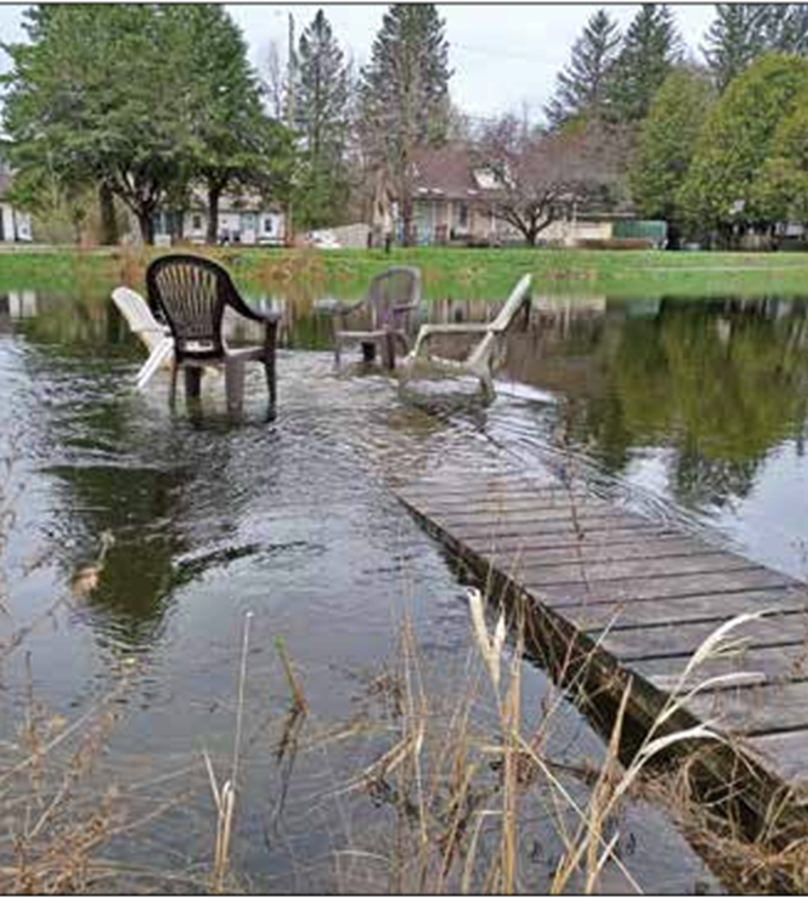
There are positive and negative implications for property owners under proposed new floodplain mapping for Minden Hills, CAO Cynthia Fletcher told council’s last meeting.
A proposed zoning bylaw amendment for floodplain boundaries was presented at a Sept. 24 meeting with little input from the general public so far.
Fletcher said what is being planned, “does have an impact, both positive and negative, to some properties.” She said it was why the report was for information only, as staff feel there needs to be more public education and engagement.
Manager of planning, Amanda Dougherty, discussed proposed amendments to the township zoning bylaw for mapping, from 1988, and for the Gull River only. She said the changes would align Minden’s floodway zone and flood risk overlays with new LiDAR mapping the County of Haliburton did with the Ganaraska Conservation Authority. It would now also include coverage along the Burnt, Drag and Irondale rivers.
“The floodway is an area of high-risk and is not generally permitted [for] development or site alteration. The flood risk area, also referred to as the flood fringe, is subject to flooding but to a lesser degree, and therefore may support development or site alteration providing such development can be safely achieved and without creating new or aggravated hazards,” she said.
Coun. Tammy McKelvey appreciated the report and said the township had to do better outreach.
“This is new mapping. It is definitely going to impact people’s properties, and is totally new for the Irondale, Burnt, and Drag.” She called for informal open houses, such as at the Irondale and Minden community centres, with large maps on the wall, so people can pinpoint their property to learn about potential impacts. She also wanted to make sure the mapping was accurate.
Coun. Pam Sayne felt now being consistent with the provincial planning statement will help the township progress applications faster. She said it was important the community also understands why the municipality is altering its mapping. She thought they could record a public event and share it to YouTube.
Coun. Ivan Ingram asked if existing maps were grandfathered for landowners. Dougherty said anything built pre-mapping changes would be allowed to remain.
Coun. Bob Sisson asked, “what happens if someone has paid a huge amount of money for a property and now it’s going to be zoned in this floodplain, what is the resale going to be for this property?”
Dougherty said while it might sound “crass,” property values are not a planning matter. However, she added, the concern “is not lost on staff.” She said she was already working with possible impacted property owners.
Mayor Bob Carter said the LiDAR mapping was done before COVID but then delayed in the aftermath. He said there had been presentations and public meetings. He agreed with staff he was surprised how little public comment there is now. He encouraged outreach.
“Some people will be overjoyed; some will not be very happy with this new mapping.” He said they would have much more accurate mapping, but “let’s go out and get the input from people and go from there.”
McKelvey noted it wasn’t just the river systems either, but “a lot of properties between lakes as well.”
The only member of the public to speak at the meeting was Patricia Walshe, who lives on Spring Valley Road. She said she had asked how the plan would affect their property but had not heard back.
She said they built in 2015 at “considerable cost” for things such as a flood survey, and had invested to prevent flooding impacts, such as three flying buttresses. She said they had done everything asked of the municipality after the 2013 flood.
With the changes, she said, “I’d like to know how this applies to us.”